UFS Land Data Assimilation (DA) System v2.0.0 Release

The Earth Prediction Innovation Center (EPIC) and the Unified Forecast System (UFS) community are proud to announce the public release of the Land Data Assimilation (DA) System v2.0.0. In the Land DA System, the Noah-MP land surface model (LSM) in the UFS Weather Model (WM) and the Joint Effort for Data assimilation Integration (JEDI) system are used to assimilate snow depth data via the Local Ensemble Transform Kalman Filter (LETKF) algorithm with pseudo-ensemble error covariance. This release is an update to the v1.2.0 release from December 2023 and reflects a number of changes currently available in the land-DA_workflow development branch. To improve the internal structure and maintainability of the Land DA workflow repository, EPIC developers have refactored the workflow to adhere more closely to the National Center for Environmental Prediction (NCEP) Central Operations (NCO) Implementation Standards. Additionally, developers have incorporated the Unified Workflow (UW) Tools open-source Python package to improve Rocoto workflow generation and automate common Land DA tasks needed for standard numerical weather prediction (NWP) systems.
Updates to NOAA’s Unified Forecast System’s Cumulus Convection Parameterization Scheme Between GFSv16 and GFSv17

Abstract: This study outlines the updates made to cumulus convection parameterizations between GFSv16 and the forthcoming GFSv17, which will be the first global forecast application to become operational under the Unified Forecast System infrastructure. The updates, addressing known systematic errors and biases, incorporate innovations such as stochasticity, 3-dimensional sub-grid organizational effects, and a prognostic closure evolution. The changes are shown to improve tropical temperature/humidity biases, CAPE forecasts, CONUS precipitation, and tropical variability. By examining individual updates’ impact on temperature, humidity profiles, and precipitation power spectra, we find that the new prognostic closure and stricter precipitation evaporation criteria alleviate a dry and cold bias in the tropical boundary layer and enhance precipitation variability in the tropics. Stricter triggering criteria also allow for more CAPE buildup, particularly over the tropics. The cumulus convection updates have a modest impact on precipitation skill scores over CONUS, but overall, there is an improvement when comparing GFSv16 and the latest GFSv17 prototype configurations, in particularly for larger thresholds. The study also highlights the challenges in developing convection parameterizations suitable for both coupled and uncoupled model configurations. Evaluation of the MJO shows varying responses to cumulus convection changes depending on whether the model is coupled with a dynamic ocean model.
© 2024 American Meteorological Society
EPIC and GMU Collaboration – Overcoming Academic HPC Challenges

Kris Booker from the EPIC Platform team collaborated with Ben Cash from George Mason University (GMU) to test a proof of concept for running the UFS weather model on academic high-performance computing (HPC) platforms. This project aims to address one of the many challenges in the Unified Forecast System (UFS) community, which is the barrier to entry caused by complex program library requirements in multiuser academic HPC environments.
UIFCW Student Travel Grant Highlight

This year, the EPIC program office, in partnership with UCAR | CPAESS, offered thirteen travel grants to enable students to attend the Unifying Innovations in Forecasting Capabilities Workshop 2024 (UIFCW24) in Jackson, Mississippi from July 22-26, 2024. These grants gave students with limited access to funding the opportunity to attend the annual workshop in person.
Common Community Physics Package: Fostering Collaborative Development in Physical Parameterizations and Suites

Dr. Ligia Bernardet published an article in the latest issue of the Bulletin of the American Meteorological Society (BAMS) about the Common Community Physics Package (CCPP).
JEDI SkyLab Achieves Near-Real-Time Data Assimilation Functionality

JEDI SkyLab can now conduct experiments with newly published data, including near-real-time data assimilation with UFS backgrounds. This allows for a quick evaluation of the impact of new instruments or commercial data in a real-world context before they are integrated into operational systems like the UFS. The ability to rapidly integrate new sensors and conduct experiments with the latest data will play a key role in improving the accuracy of future weather and climate forecasting in the UFS.
Advancing Atmospheric River Predictions Through Collaborative Innovation
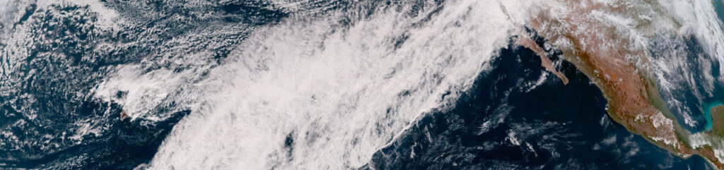
EPIC’s Solutions Architect Highlights Advances in Atmospheric River Forecasting
Learn from EPIC’s Solutions Architect, as he discuss the latest advancements in forecasting atmospheric rivers. This article explores the collaborative efforts of EPIC, in collaboration with the NOAA Physical Sciences Laboratory (PSL), NOAA Global Systems Laboratory (GSL), and others, aimed at enhancing the precision of predicting these crucial weather phenomena.
NOAA Data Assimilation Consortium Launched
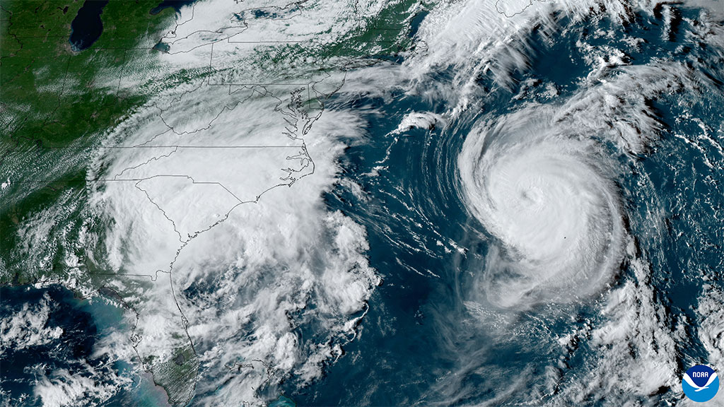
Biden-Harris Administration announces $6.6M for new Data Assimilation Consortium to improve weather forecasting through Investing in America agenda. Research findings will be used to improve numerical prediction systems, build international collaborations.
Spack-stack

Explore the latest thoughts from EPIC’s Software Integration Product Owner on spack-stack’s role in environmental modeling. This tool is crucial for organizing software libraries that support the Unified Forecast System (UFS), and other applications, helping to improve system efficiency and forecasting accuracy.
EPIC at the 104th AMS Annual Meeting

The Earth Prediction Innovation Center (EPIC) attended the 104th American Meteorological Society (AMS) Annual Meeting from January 27 to February 1, 2024 in Baltimore, Maryland and engaged the community in a number of EPIC ways. The Annual Meeting provides a forum for the community to share ideas and experiences on the research and development of Earth system models and their applications in operational forecasting.